Joanne Coutts
CARTOGRAPHER - WRITER - ACTIVIST
|
Biography:
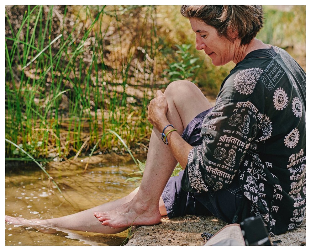
I am an independent cartographer and activist whose practice is centered on the connections between our relationships with land and water, and commitment to humanitarian aid and solidarity in response to climate change. My current projects use counter-mapping to support search and rescue at the US/Mexico border and contribute to efforts for water rights, and rights for water, in Detroit. My current project, Sonoran Desert Journeys, was first presented at the 2022 Tri-National Sonoran Desert Symposium. My map “Search Here: The Growler Valley” won the University of Arizona’s 2021 Feminist Visualization Challenge. I have also presented at Detroit Bioneers Conference, HASTAC 2023, American University, Veterans for Peace War Resisters Network and many other universities and community organizations. My work has also been featured in the Detroit Institute of Arts 2019 Ofrenda de Muerte exhibit where I presented “Desconcido,” which honored the lives of the more than 2,000 people who have died crossing the Sonoran Desert who remain “unidentified” and in the Detroit Socialist, where I have written about the impact of surveillance and militarization on the city. Prior to committing to a full-time cartographic and activist practice in December 2018, I served as Deputy Director of acclaimed dance company, Step Afrika! from 2012 to 2018, and Special Events Director at Washington DC’s Shakespeare Theatre Company between 2004 and 2012. Artist Statement: My cartography encourages the viewer to reconsider their preconceptions about maps and map-making. My maps challenge the “view from nowhere,” that is common practice in Western cartography, by looking at navigation and orientation from human perspectives and honoring the emotional and relational experience of moving through and connecting with our environment. They also assert that creative, artistic, beautiful maps can rebuild connections between people and land while also being practical guides for getting from A to B. My work is informed by my ongoing learning and practice of decolonial and feminist values. It is centered in acknowledging and engaging with Indigenous languages and ways of being in, and traveling within, space, and caring for human, plant, animal, and non-animal life in the places that I choose to live today. In sharing my work, I ask people to be open to thinking about how they orient to and navigate space and to feel energized and eager to build relationship with land, water, humans, and non-humans from different perspectives and to make maps that express these relationships. |
CURRENT PROJECTS
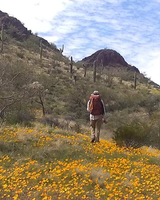
SONORAN DESERT JOURNEYSAs a humanitarian aid volunteer, I am interested in the many ways that the desert acts as a guide to people moving through its space; taking travelers from water source to water source, showing distinctive peaks, buttes and ridges that are visible for miles, and preserving paths made by humans and animals centuries ago.
I believe that how we speak about the land also impacts our relationship with it. The English language does not have the words to describe the variety of forms of the mountains in the Sonoran Desert. US American maps inscribe a colonial version of history on the landscape with place names based on Spanish, Mexican and US American conquistadors and settlers. In 2019, I began researching the original O’odham names of as much of the land as I could and recording them with an idea that learning to describe the desert in its native language could help me navigate in a way that feels more connected to the land and that honors the desert as a living being. LEARN MORE.... |
MAPPING DETROIT'S BURIED WATERWAYSWhen I first moved to Detroit in 2014, like many people, I turned on Google Maps to get to the grocery store, work, the theater, restaurants, and even the laundromat. Invariably I found myself directed onto a freeway. Rushing along a walled six lane road was no way to build a relationship with the city that was to be my home. Drawing on my experiences as a bicycle messenger, navigating using the buildings in Washington DC in early 1990s and, more recently, as a humanitarian aid worker, orienting myself and other volunteers using the mountains, valleys, washes, and wells in the Sonoran Desert, I sought different ways to orient to, navigate, and map Detroit. In Michigan, surrounded by the Great Lakes and covered in lakes, rivers and streams, water seemed like the most obvious way to relate to the land.
Here in Detroit the river provides an obvious point for orientation, but it is not the only waterway in the city. A friend told me about a map of Detroit’s buried creeks. I searched out and found the map by Charles Grabner and decided to engage with Detroit’s buried creeks to help me to orient myself differently to the city and to build and maintain relationship with water as a water protector engaged in the fight to Shutdown Line 5. LEARN MORE.... |